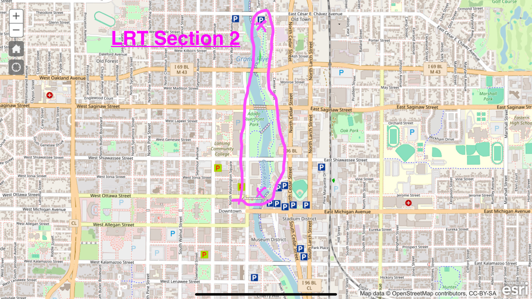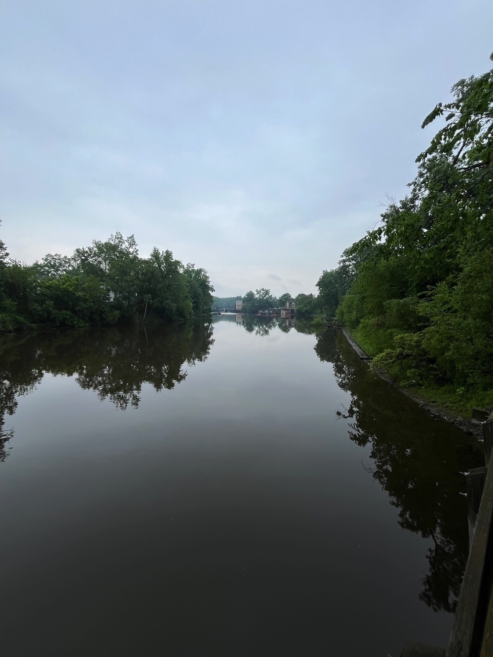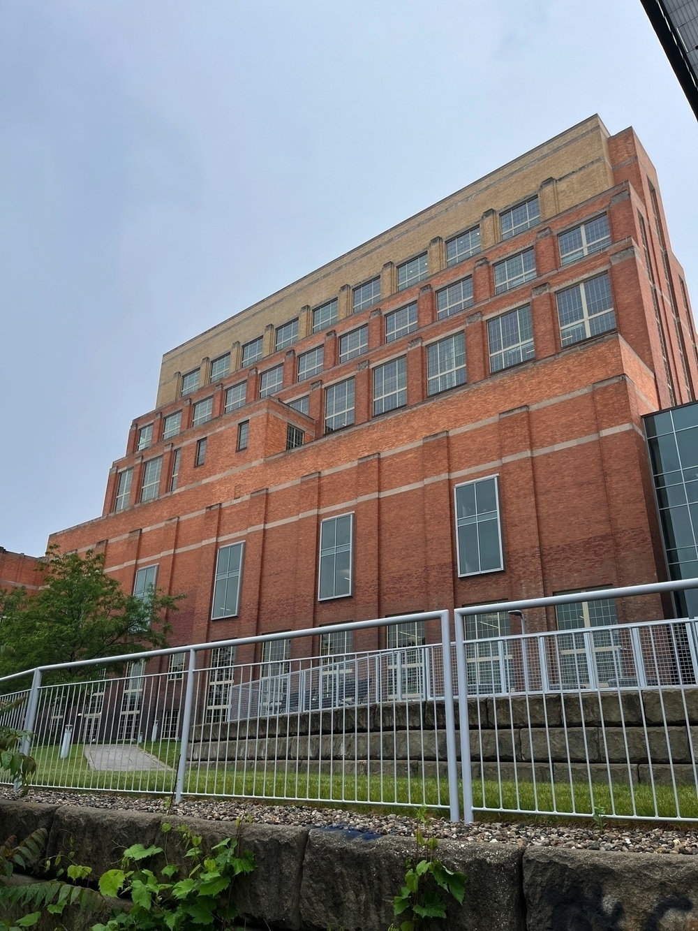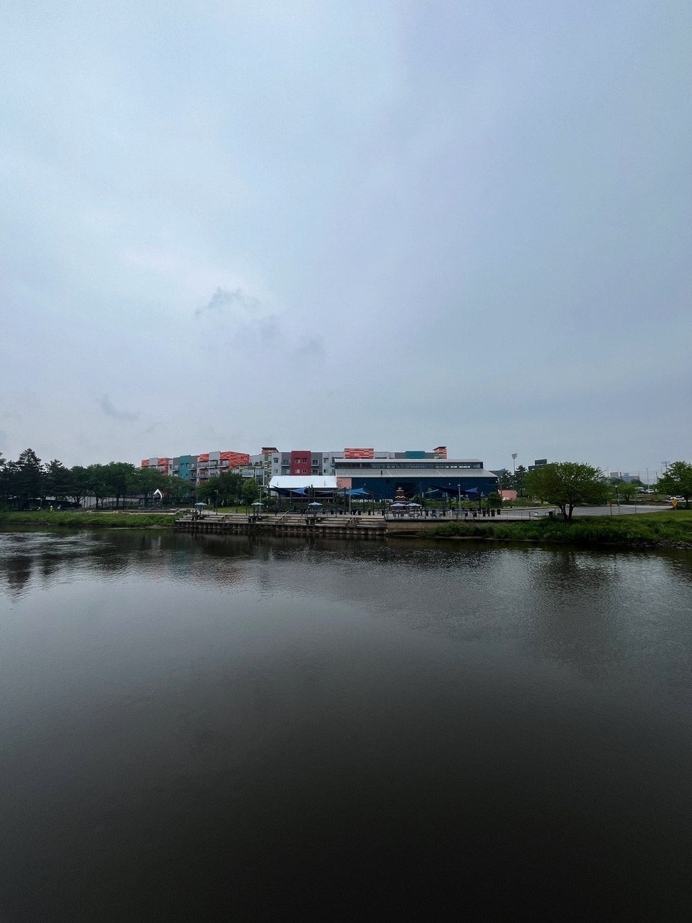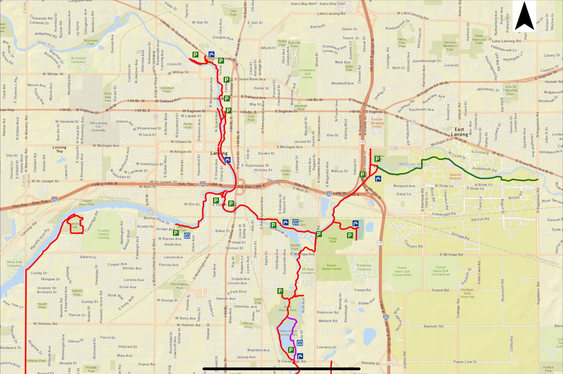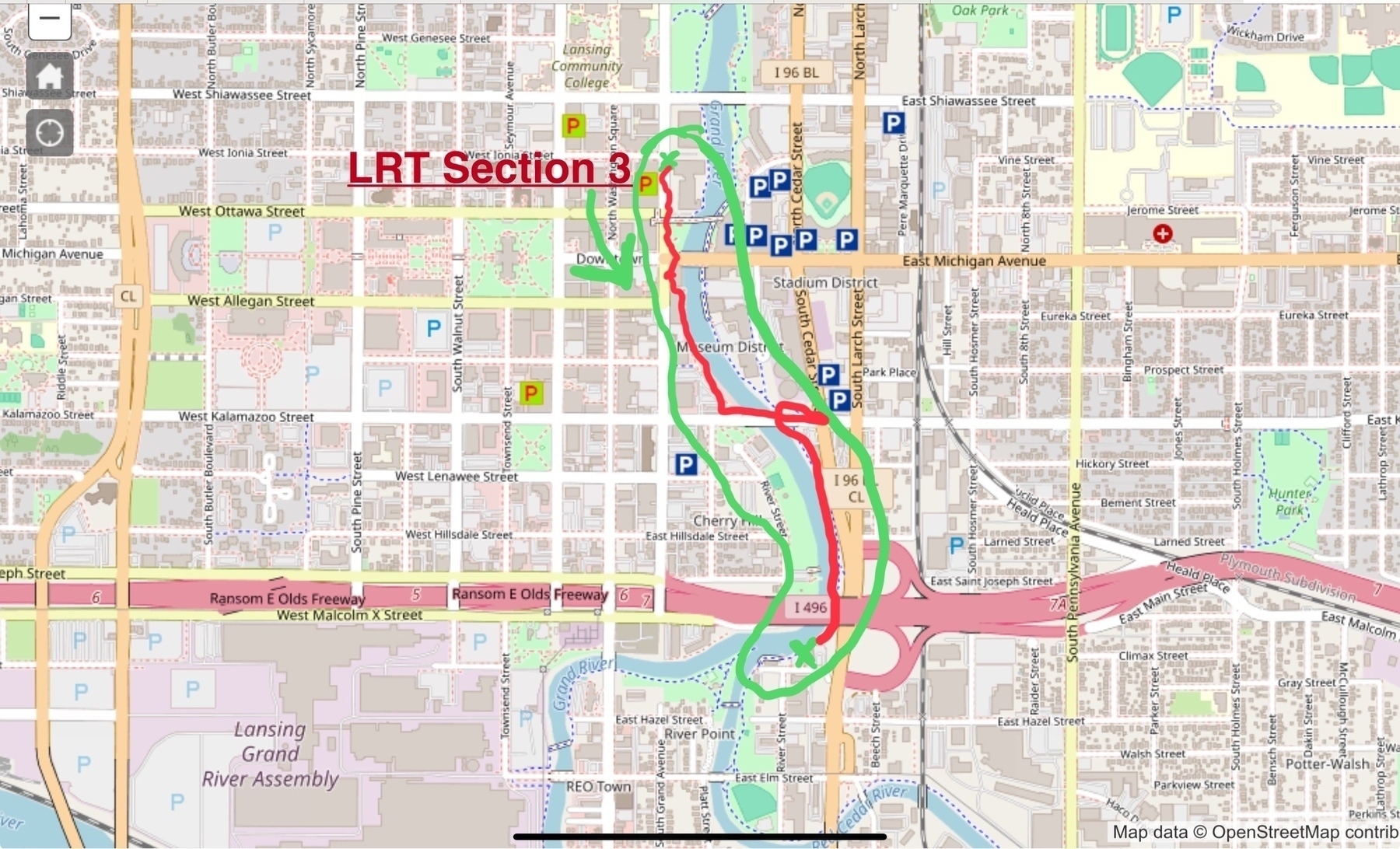
In this portion of my Lansing River Trail Trail (LRT) journey I pick up where I left off in Section 2 at the Ottawa Street Power Plant building and make my way south along the Grand River and terminate my walk just south of the I-496 freeway where the Grand and Red Cedar rivers fork. This section led me to reflect on car-centric infrastructure and its racialized history.
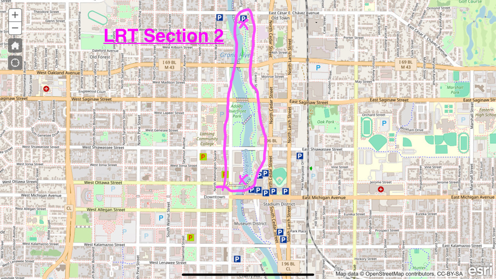
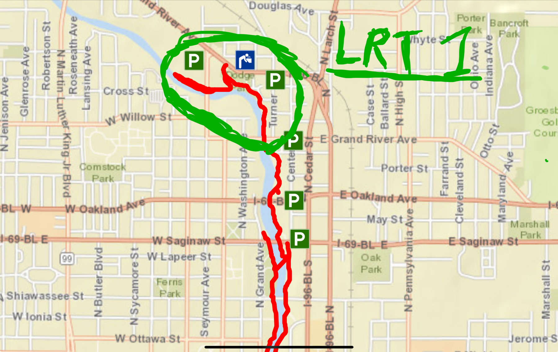
Section Overview
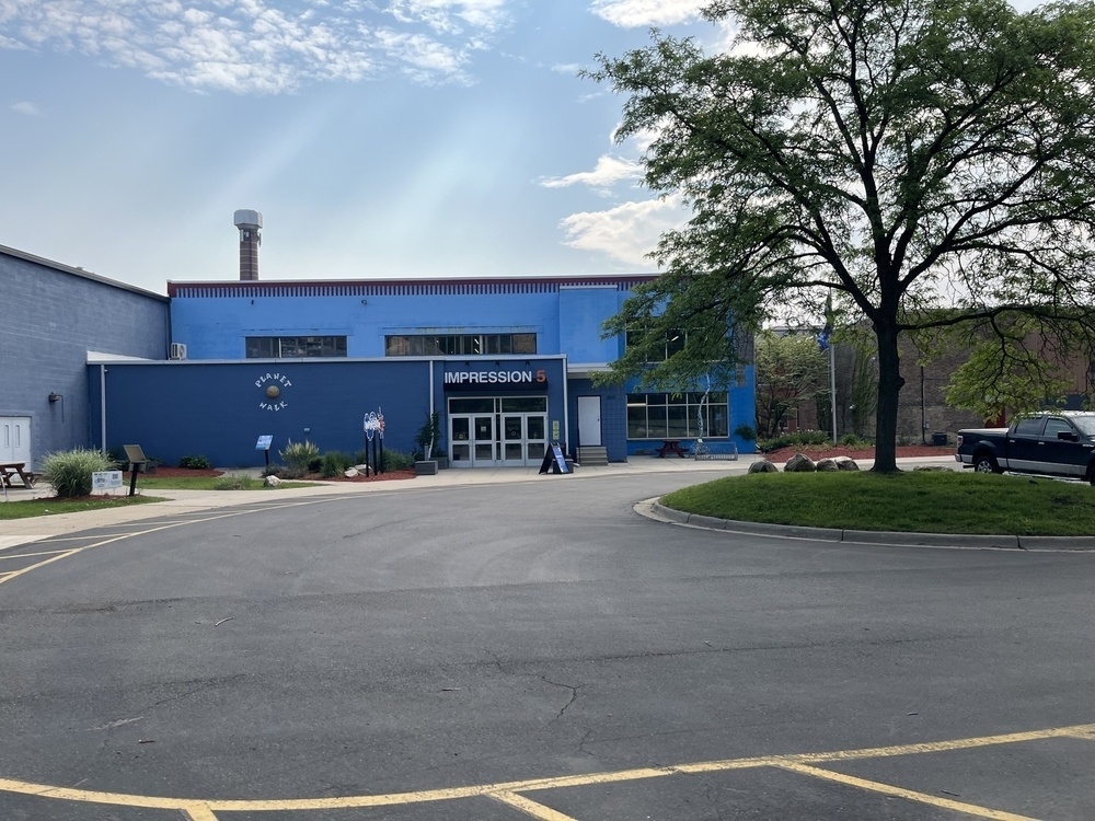
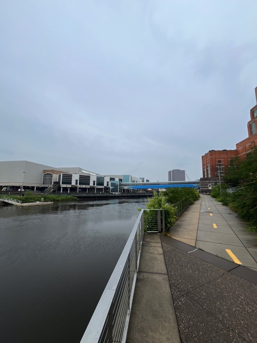
I utilized street parking in front of the Ottawa Street Power Plant, though there are also several parking garages within the radius of a city block. This trail section requires you to temporarily leave the banks of the Grand River and cross the Michigan Avenue bridge from the river’s west to east side to continue utilizing the trail. As you proceed south on the east bank you pass the entrance to the Impression 5 science museum and R.E. Oldsmobile museum. Impression 5 has an interesting exhibit called the ‘Planet Walk’ that illustrates proportionally the distance of the planets in our solar system from the sun. Proceeding from Impression 5 the solar system extends out 5.5 miles south along the trail terminating with Pluto.
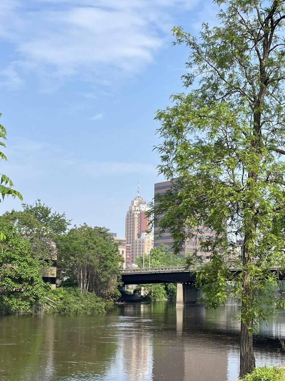
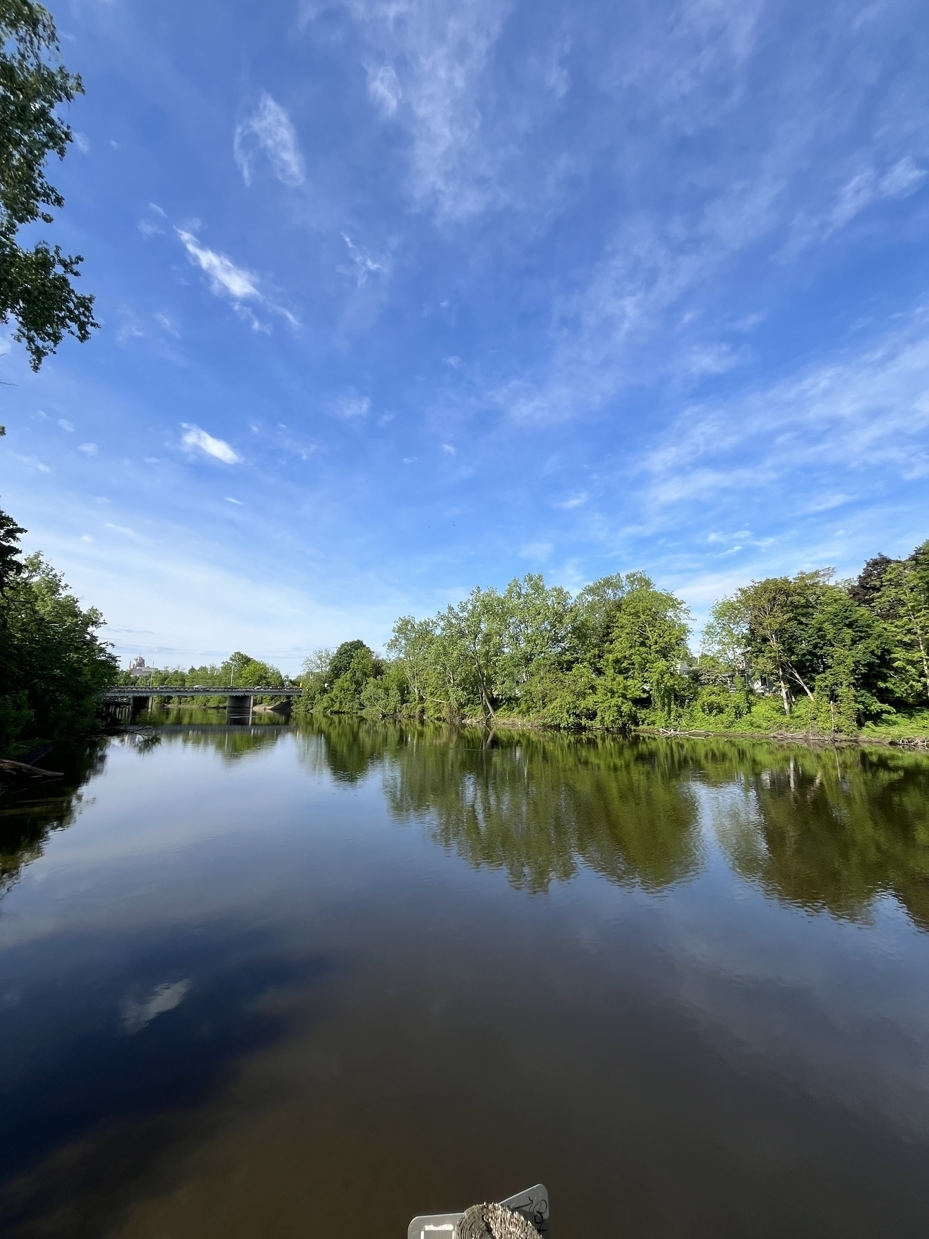
I concluded my walk just south of the I-496 bridge across the Grand River. From my ending point, you can look north and still see the Boji Tower and Ottawa Street Power Station. Downtown Lansing will recede rapidly from here as the trail meanders a bit farther south, then turns east towards Potter Park.
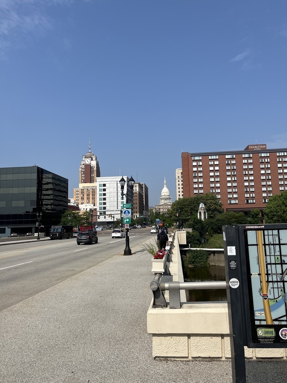
Crossing west to east on the Michigan Avenue bridge, you get a stunning view of the Michigan State Capitol and the heart of downtown Lansing. Downtown has been struggling post-COVID/2020 to revitalize itself since the predominately clerical workforce that populates downtown office space embraced remote/hybrid work. There is some construction, with a concert hall and mixed-use development projects identifiable by the cranes that hover over their worksites. The vibes downtown are pretty sleepy during the workweek, and practically comatose most weekends.
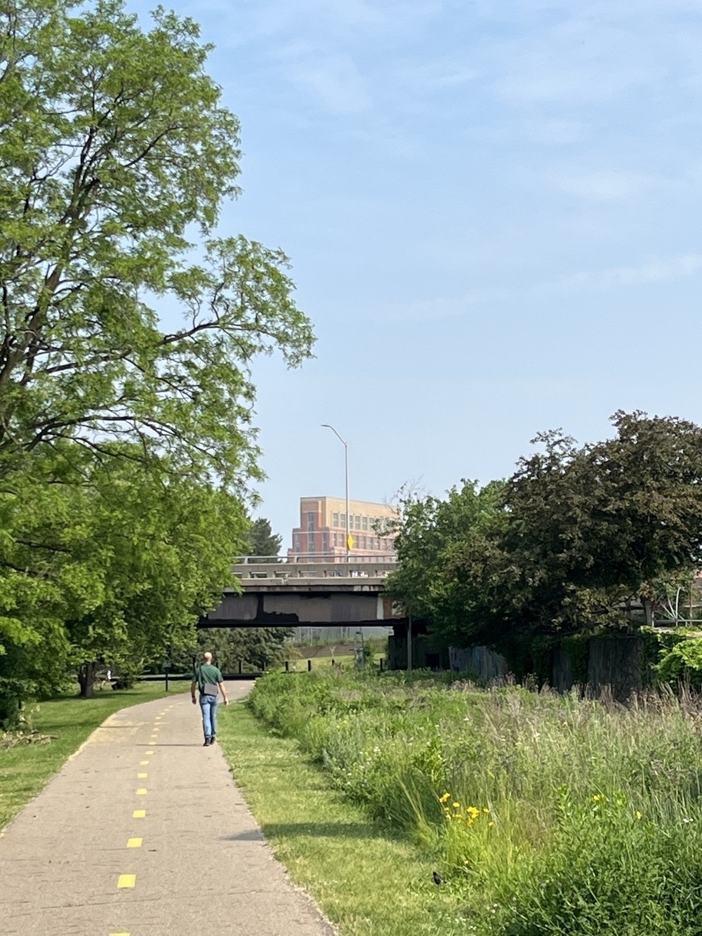
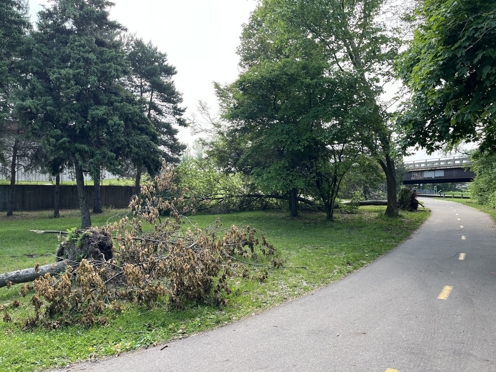
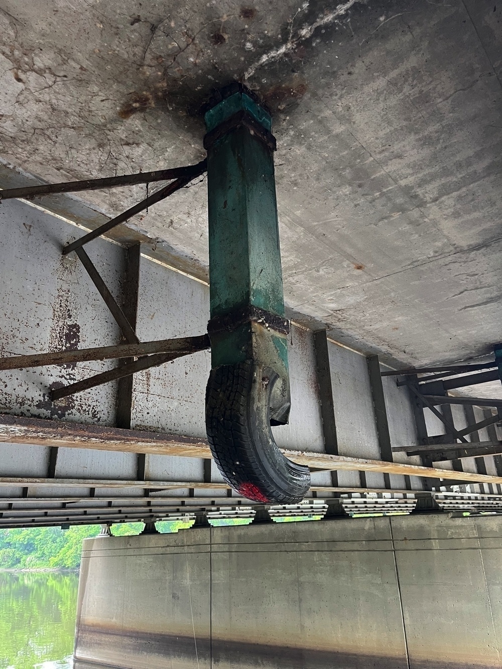
Encountering I-496 is jarring. My experiences on the trail so far have driven home the fact that highways are dead zones, for both pedestrians and nature. The sound of traffic is deafening, and the natural environment–while potentially green in appearance–suffers from the toxic runoff precipitating from the roads above. The odor of exhaust and mechanical pollution acts as an invisible miasma.
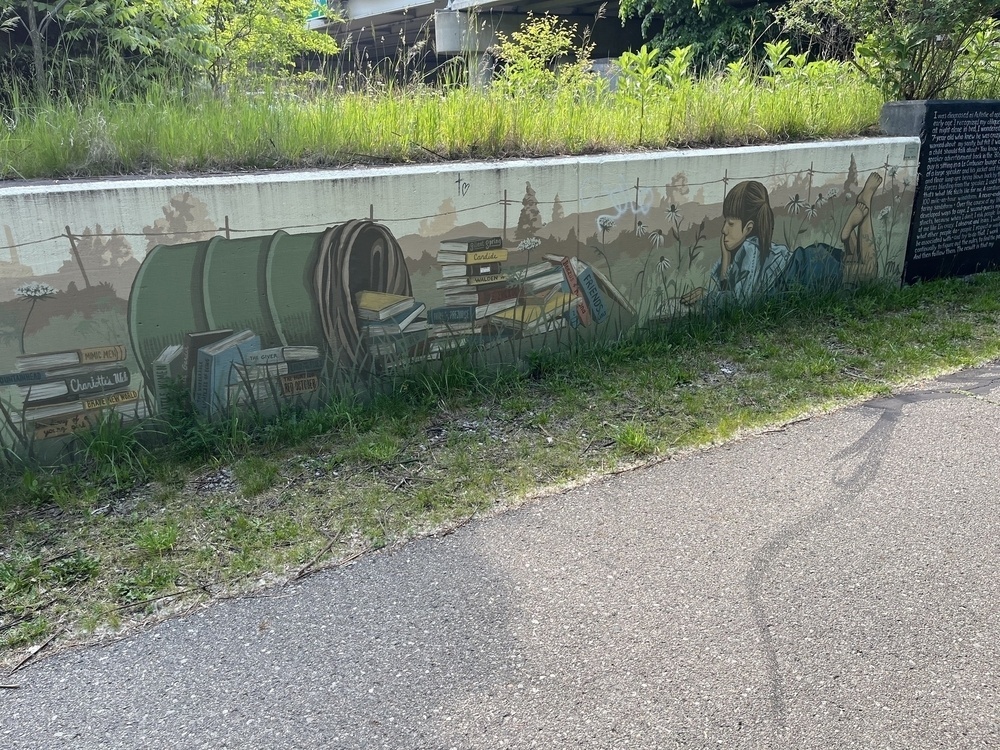
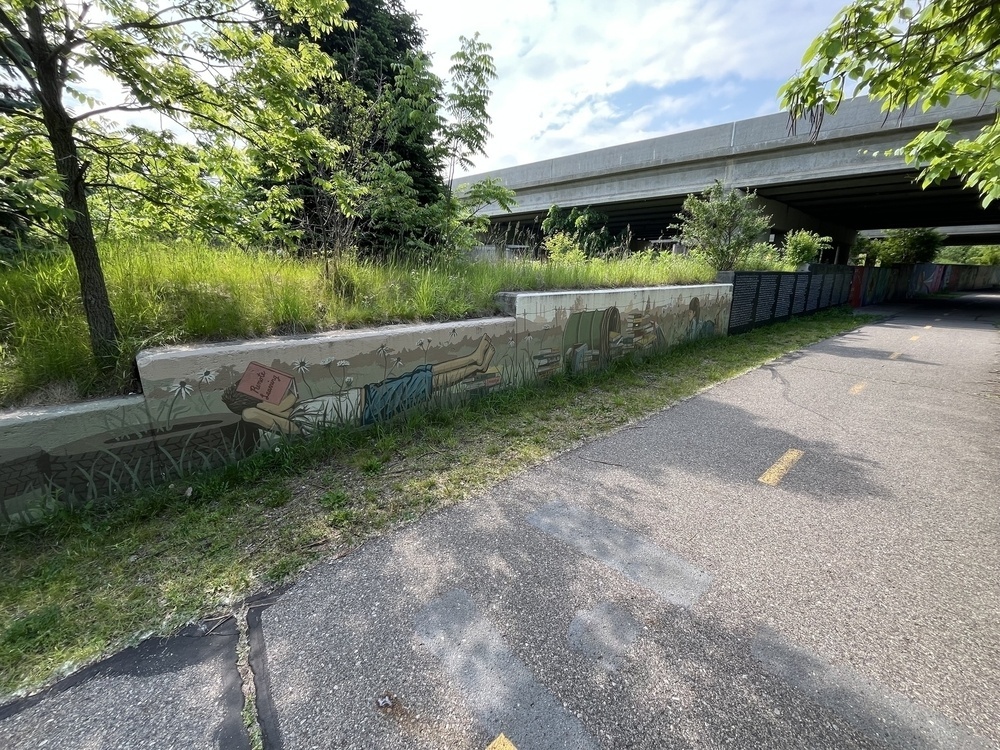
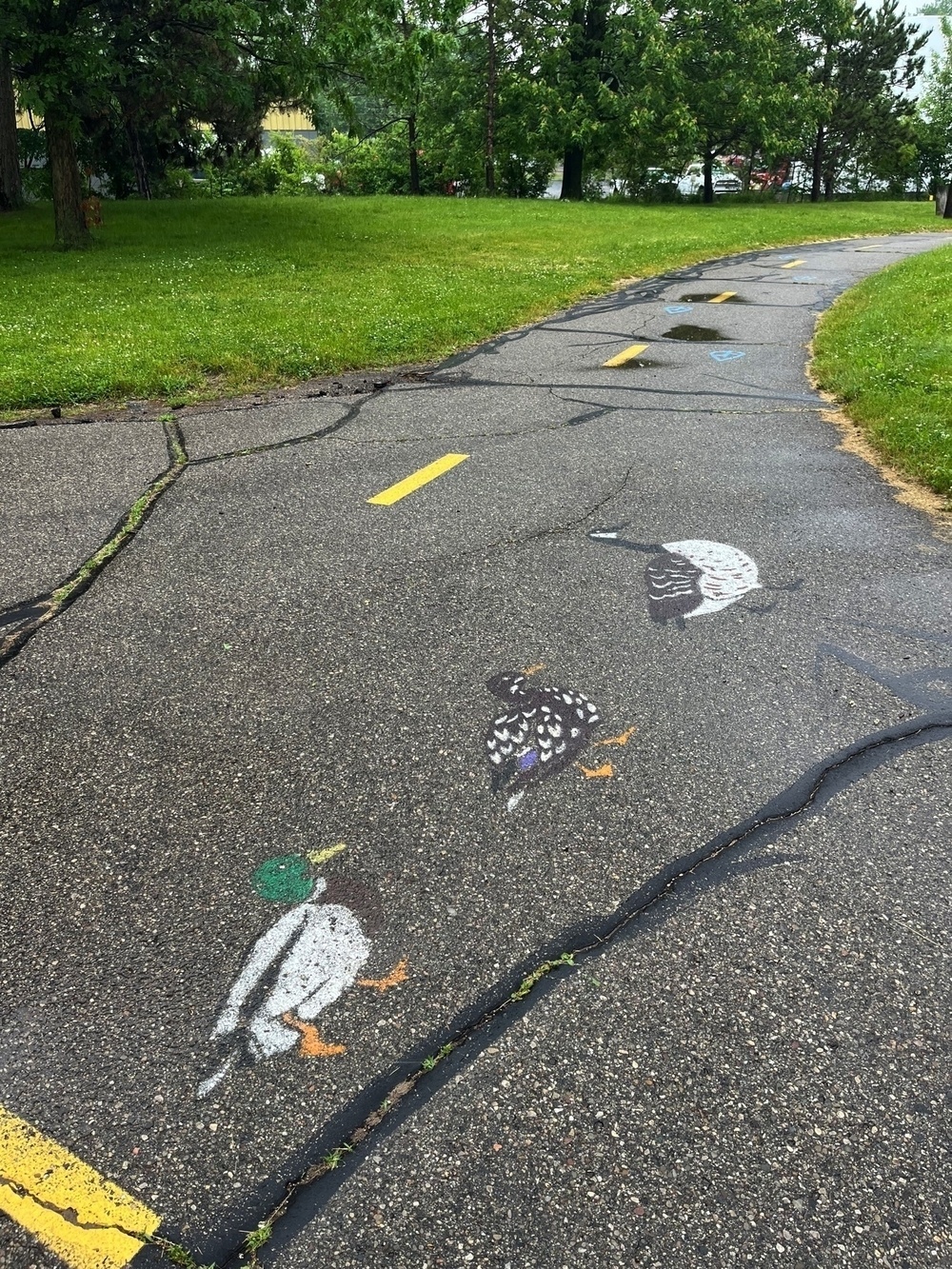
The highway encounter left me reflecting on the scarred legacy that car-centric urban development engenders. ‘They even took the dirt’ is a revealing I-496-specific documentary that illuminates the (predominantly Black) neighborhoods permanently degraded by the destruction wrought upon them in the name of economic and technological progress. You can see the wider systemic legacy of the racist planning practices that targeted Black communities at ‘Segregation by Design’. I snapped some photos of urban art featured near and under I-496 on this section of trail. The city is trying to beautify the area, but I think a larger lesson from the experience is that cities should favor pedestrian, bike-centric, and public transit infrastructure over automobiles.
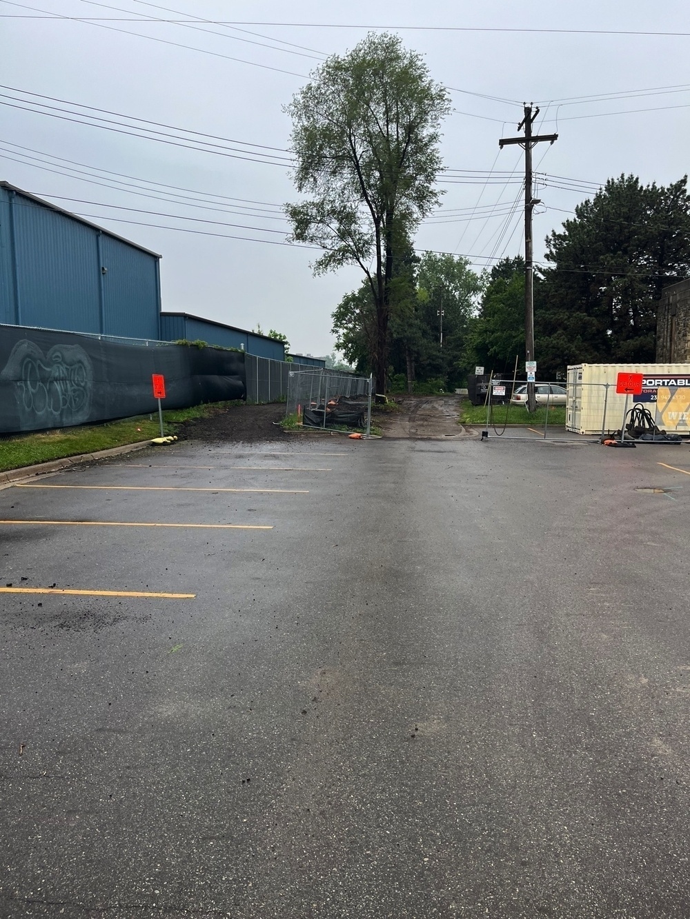
This section represents the LRT at its most urban and recognizably a capital city. The trail will eventually transition back to predominantly parkland and residential neighborhoods as I progress. The museums, architecture, artwork, and the trail itself are a testament to the fact that this region carries its own cherished history and cultural fingerprints. Contrary to what some Detroiters might insinuate, Lansing isn’t just one big parking lot, (though the city absolutely has too much parking.) I choose to believe that I’ll live long enough in Mid-Michigan to see Downtown rise beyond its reliance on clerical commuters to become a multi-modal weekend destination in its own right.
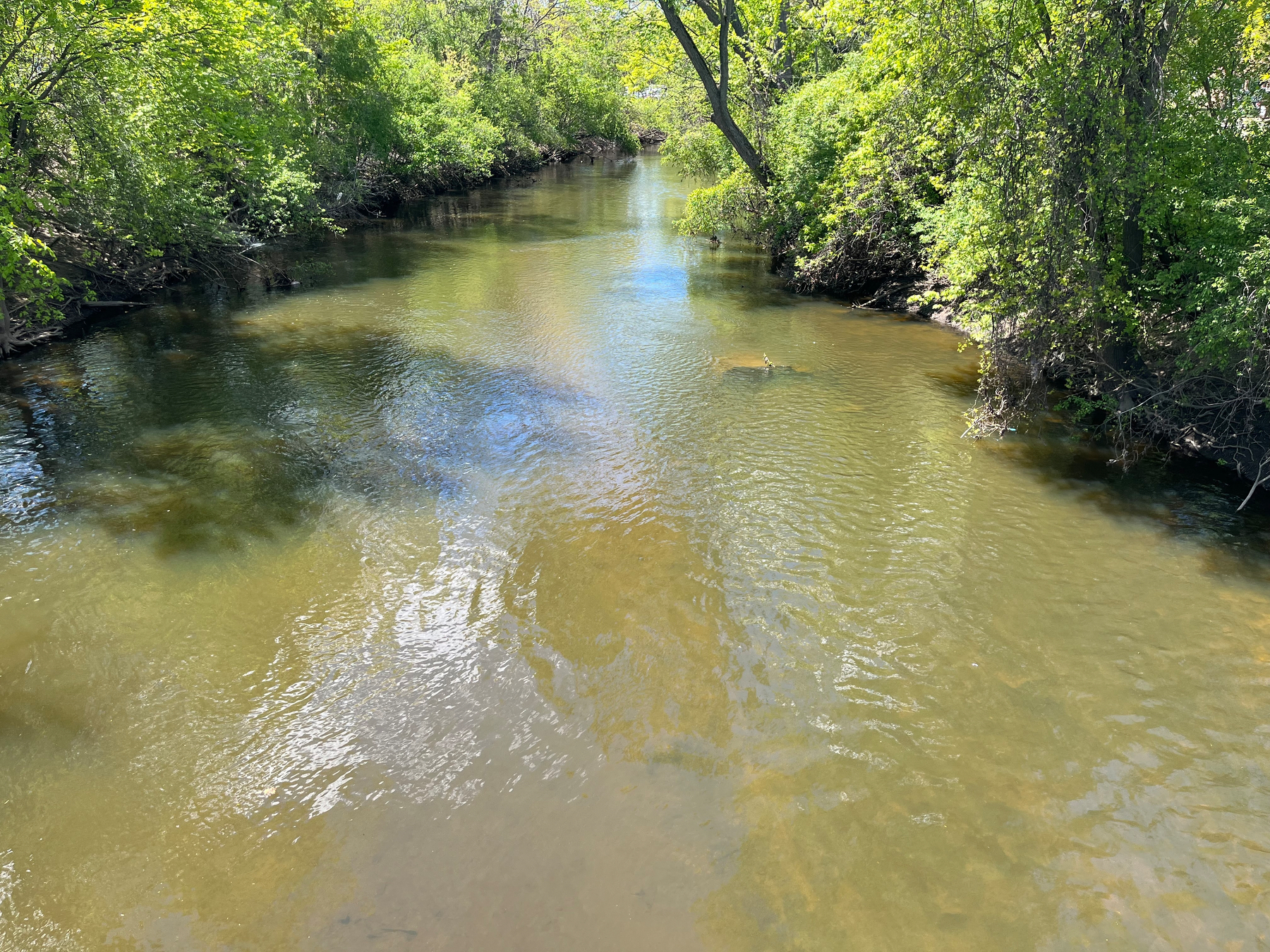
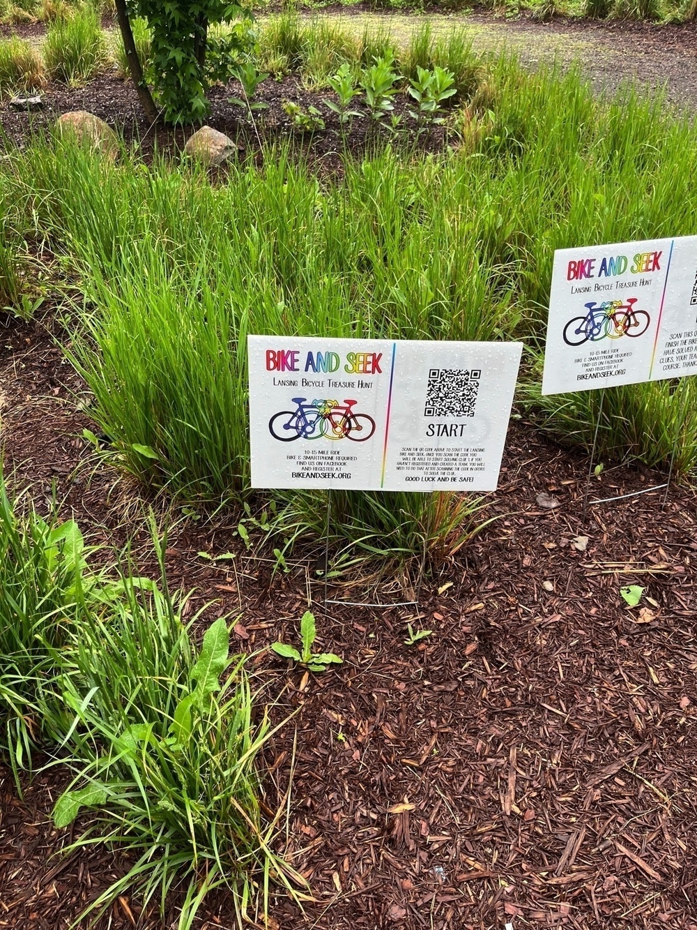
Section Photos